The road7 min
Where Taliouine sits
A town in the Zagmouzen valley, on the road from the Souss to Ouarzazate, under Jbel Sirwa.
Taliouine is a town in the province of Taroudant, in the region of Souss-Massa, in southern Morocco. In Tamazight the name is written ⵜⴰⵍⵉⵡⵉⵏ, and in Arabic تاليوين. In English it is said roughly tah-lee-WEEN. A published position for the town is about 30°32′ north and 7°55′ west.
The town sits in the Zagmouzen valley, where the High Atlas and the Anti-Atlas meet, at the foot of Jbel Sirwa. Sirwa is a volcanic massif, and guides put the summit near 3,305 metres. The town itself sits near 1,586 metres. The saffron lives on the Souktana plateau, around 1,300 to 1,500 metres, where the terraces catch the autumn light.
The national road runs from the Atlantic toward the desert side of the mountains. Agadir and the Souss plain are to the west. Taroudant is the provincial capital in that direction, and a published road figure puts Taliouine about 100 kilometres from Taroudant. Aoulouz is the nearer town on that western side. East, the same road goes on to Tazenakht and then Ouarzazate. South, the country opens toward Tata. North, the High Atlas is the way through to Marrakech. A local account says the circle of Taliouine was once attached to the province of Ouarzazate, and that it has depended on Taroudant since 1982.
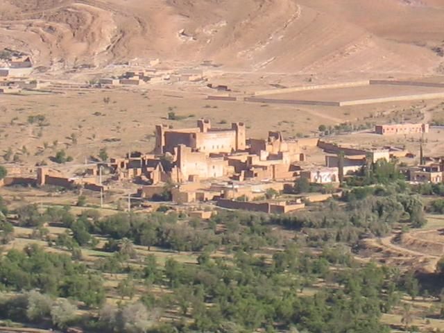
In 2004 the census counted 5,844 people in the town. A 1994 count of the wider country around Taliouine found 114,682 people in 15,713 households. Their gardens are almonds, olives, palms, and figs on worked terraces, with rain near 220 millimetres a year. Saffron is the cash crop that has carried those households. The older picture of the hectares is on the town.
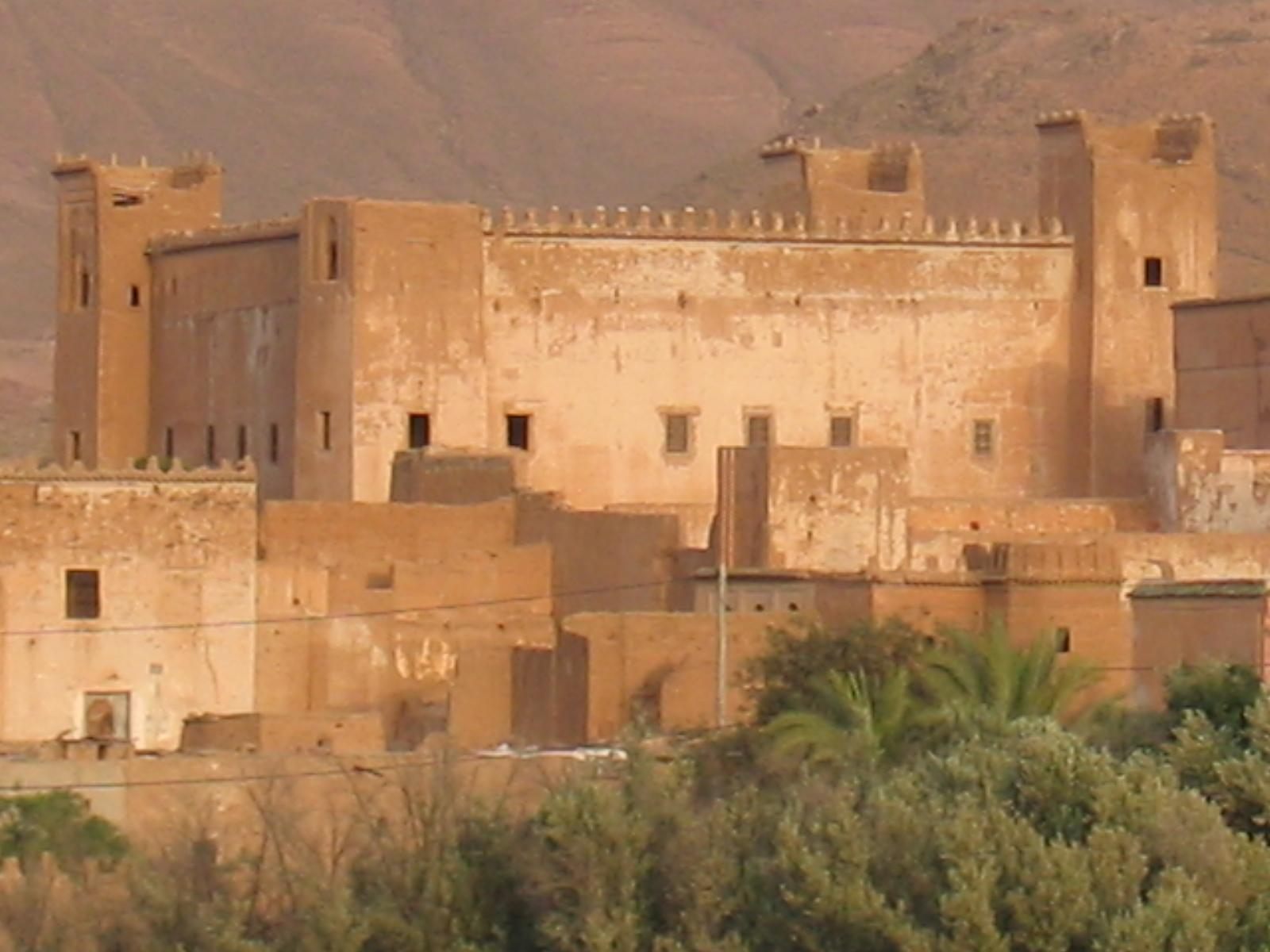
The kasbah in the valley
A local written account dates the kasbah in the Zagmouzen valley to about 1867. In 1947 Thami El Glaoui took the place, after Souktana was overrun, and raised the kasbah that stands there. After independence, in 1959, the main building served for a few years as a branch of the Muslim Institute of Taroudant. The walls are rammed earth on a stone base, with four towers. The photographs are the building as we saw it, warm in the afternoon.
How the threads left this valley is on the trade. The morning in the fields is on the dawn pick.
How to look at a thread is on Saffron Threads. What a lab is asked to measure is on Saffron Grades and Saffron Quality. Once the jar is home, the cupboard is on Saffron Storage. The field account, written without this brand, is on Saffron Farming.
Also on this desk
- The townThe town the saffron is named for
- The tradeHow Moroccan saffron left the valley
- The nameSafran de Taliouine
- DawnThe flowers are taken before they open
- The growersThe people who pick it, and the desks they formed
- The tinWhat to ask before you trust the word
- The tableHow the valley uses a pinch
- The brandThe brand, and the valley we love